

Sold out
Click Here to View Large Map or Order
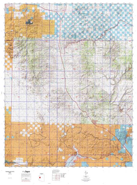
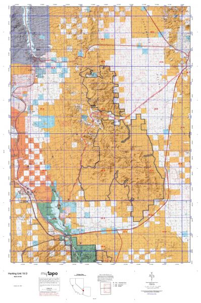
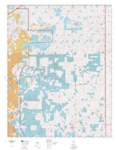
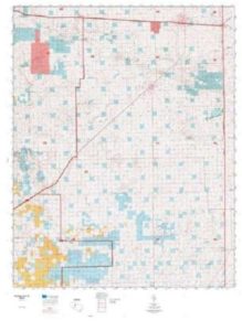
New Mexico Unit 31 hunting map topo with printed boundaries
HuntersDomain has New Mexico unit 31 hunt area maps that are 1:100,000-scale maps using Bureau of Land Management land status base maps.
Our UNIT 31 maps include:
- New Mexico public land ownership boundaries
- Topographical contour lines
- 1:100,000 scale for easy viewing
- Roads printed
- Key terrain features to help you plan your hunt or trip
- Hunt area or game management unit 31 (GMU 31) boundary is overlaid on the BLM base map
- Easy planning for your upcoming big game hunt by defining roads and routes into the preferred area
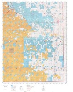
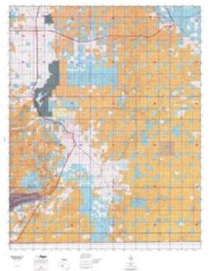
Custom maps for unit 31 are also available (See it all on one map):
- Color aerial photo maps: high resolution (you define borders/boundaries)
- TOPO maps only where you easily define borders or edges of maps with our online program
- Hybrid maps: a unique and detailed aerial photo combined withe USGS topographical maps (user-defined boundaries)
Order your unit 31 New Mexico topo map today!
The actual boundary description/definitions printed below from New Mexico Division of Wildlife hunting regulations brochure could have errors or been amended by the state so always check in their most current printed regulations or the New Mexico Division of Wildlife website to verify these boundaries before hunting as these are for reference only.
– Unit 31 Topo/Map New Mexico – Game Management Unit (GMU-31).
Game Management Unit (GMU) Beginning at the intersection of the New Mexico-TX state line and US 180, southwest of Carlsbad, and running northeast along US 180 to its junction with US 285 at Carlsbad, then north along US 285 to its intersection with US 82 at Artesia, then east along US 82 to its junction with New Mexico 249 at Maljamar, then north along New Mexico 249 to its junction with New Mexico 172, then north along New Mexico 172 to its junction with US 380 west of Caprock, then east along US 380 to its intersection with Button Mesa Road/Lea County Road 156 east of Caprock, then north on Button Mesa Road/Lea County Road 156 to Reserve Road in Chaves County to Roosevelt County Road AK, to New Mexico 114 at Elida then north along New Mexico 330 to its junction with New Mexico 267 west of Floyd, then north along New Mexico 267 to its junction with US 60 east of Melrose, then east along US 60 to the New Mexico-TX state line, then south and west along the state line to its intersection with US 180, southwest of Carlsbad.
Additional maps you may wish to purchase for New Mexico Game Management Unit 31.
BLM Maps:
Artesia Quad, Carlsbad Quad, Clovis Quad, Elida Quad, Hobbs Quad, Jal Quad, and Tatum Quad.
US Forest Service Maps:


Reviews
There are no reviews yet.