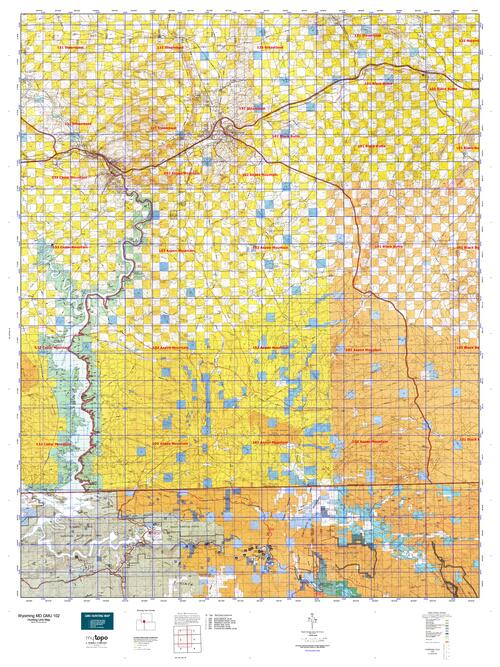
Wyoming Unit 102 Mule Deer Hunting Topo Map with Printed Boundaries
Hunters Domain has Wyoming Unit 102 Mule Deer hunt area maps that are 1:100,000-scale maps using Bureau of Land Management land status base maps.
Our UNIT 102 Mule Deer maps include:
Mule Deer public land ownership boundaries
Topographical contour lines
1:100,000 scale for easy viewing
Roads printed
Key terrain features to help you plan your hunt or trip
Hunt area or game management unit 102 (GMU 102) boundary is overlaid on the BLM base map
Easy planning for your upcoming big game hunt by defining roads and routes into the preferred area
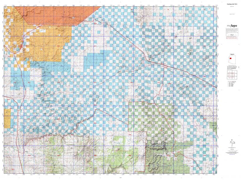
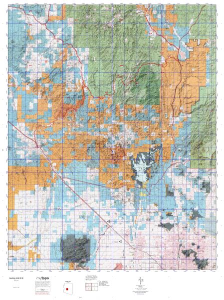
Custom maps for Unit 102 are also available (See it all on one map):
TOPO maps only where you easily define borders or edges of maps with our online program
Hybrid maps: a unique and detailed aerial photo combined with a USGS topographical maps (user-defined boundaries)
Order your Wyoming Unit 102 Mule Deere Map Today!
The actual boundary description/definitions printed below from Wyoming Game and Fish hunting regulations brochure could have errors or been amended by the state so always check in their most current printed regulations or the Wyoming Game and Fish website to verify these boundaries before hunting as these are for reference only.
Wyoming Unit 102 Mule Deer
– Unit 102 Topo/Map Wyoming Mule Deer- Game Management Unit (GMU-102).
Game Management Unit (GMU)
BLM Maps:
Reservation Land
US Forest Service Maps:
Reservation land
Wyoming Unit 102 Mule Deer Description
This area is made up of a mix of mostly sagebrush and juniper with some limited stands of aspen and subalpine fir at higher elevations. Mixed mountain shrubs are common in the wetter habitats associated with the uplifts such as Little Mountain and Pine Mountain. The topography of the area can generally be described as mesa/butte type country with rocky outcrops and deep draws.
Mule deer can be found throughout the hunt area, but at relatively low densities, especially the adult bucks. Mule deer occupy sagebrush draws and flats, juniper forests, and aspen stands in the area. The highest mule deer densities occur in areas vegetated with mountain mahogany, as mahogany is the main food source for mule deer in the area. The presence of mountain mahogany is the single best predictor for the presence or absence of mule deer. The area is heavily roaded which is good for access, but it reduces the quality of hunting as it has a negative impact on deer and deer distribution. The better hunting, and the better quality bucks, can be found in areas with lower road density or lower traffic volumes.


Reviews
There are no reviews yet.