Click Here to View Large Map or to Purchase
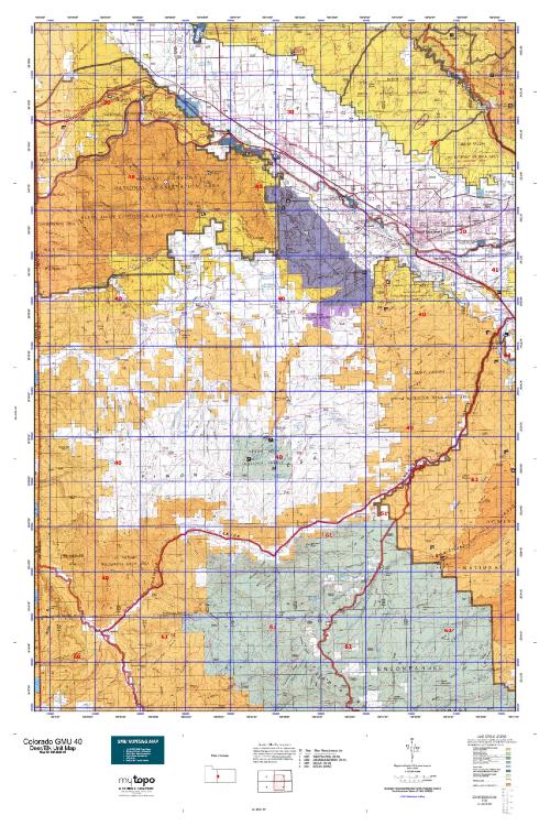
Colorado Unit 40 Hunting Topo Map with Printed Boundaries
Hunters Domain has Colorado Unit 40 hunt area maps that are 1:100,000-scale maps using Bureau of Land Management land status base maps.
Our UNIT 40 maps include:
Colorado public land ownership boundaries
Topographical contour lines
1:100,000 scale for easy viewing
Roads printed
Key terrain features to help you plan your hunt or trip
Hunt area or game management unit 40 (GMU 40) boundary is overlaid on the BLM base map
Easy planning for your upcoming big game hunt by defining roads and routes into the preferred area
Custom maps for Unit 40 are also available (See it all on one map):
Color aerial photo maps: high resolution (you define borders/boundaries)
TOPO maps only where you easily define borders or edges of maps with our online program
Hybrid maps: a unique and detailed aerial photo combined with a USGS topographical maps (user-defined boundaries)
Order your Colorado Unit 40 Map Today!
The actual boundary description/definitions printed below from Colorado Parks and Wildlife hunting regulations brochure could have errors or been amended by the state so always check in their most current printed regulations or the Colorado Parks and Wildlife website to verify these boundaries before hunting as these are for reference only.
Colorado Big Game Unit 40
– Unit 40 Topo/Map Colorado – Game Management Unit (GMU-40).
Game Management Unit (GMU)
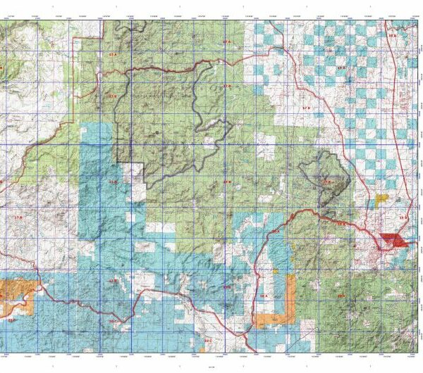
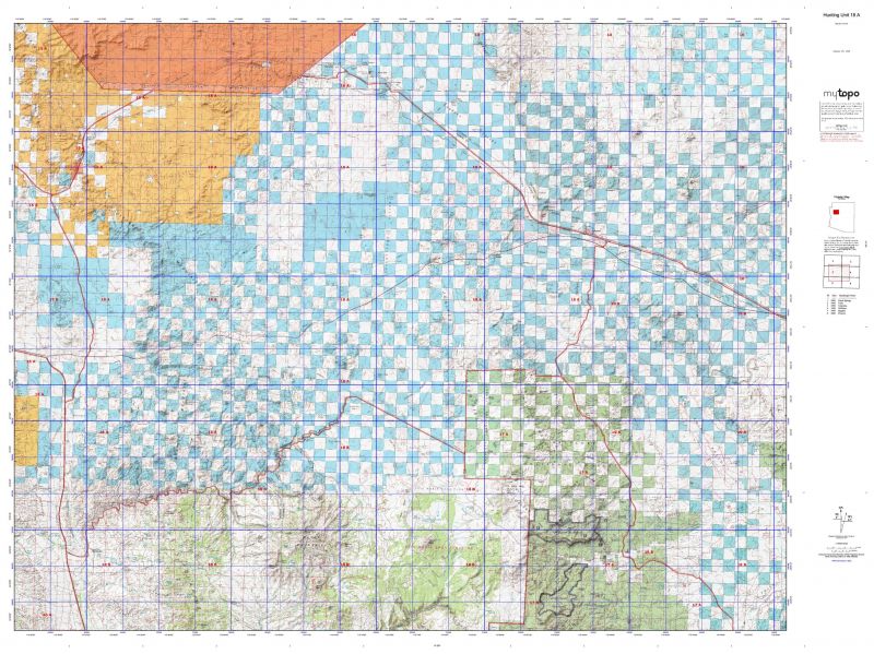
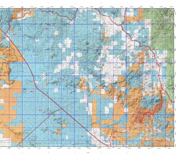
BLM Maps:
Reservation Land
US Forest Service Maps:
Reservation land
Click Here to Order Your Color Colorado Unit 40 Topo Map
Colorado Unit 40 Description
Unit 40 Located in Mesa County bounded on the North by the Colorado River; on the East by U.S. 50; on the South by Colorado 141 and Dolores River; on the West by the Utah border.
GMU 40 This 750 square mile unit consists of a relatively flat summit leading to sloping mesas bisected by deep, rugged canyons. The highest elevation range is approximately 9,800’. Roads provide access to the mesas, but many of the canyons are remote and accessible only by foot or horseback. Weather starts out mild but mud or snow accumulation is likely in later seasons. Early season hunters should favor higher elevations of the USFS land, while later season hunters will do better on the lower BLM lands. Hunters can find many water holes within the dark timber stands on north facing slopes. Elk and deer frequent these areas during warm temperatures and heavy hunting pressure. GMU 40 has a lot of private land, and public access to BLM is often difficult to reach by vehicle. There are some good bucks in GMU 40 but they are hard to locate. The upper end of the Little Dolores drainage is a good place for quality mule deer bucks but there is considerable private land. Late season hunters may have success near Seiber Canyon, but it is foot or horseback only. Areas along the Utah border and north of Gateway can be good during the rifle seasons however be aware of private land and the state line. Bulls will be bugling from mid-Sept through 1st rifle opening weekend. Elk are widely distributed. Most stay high until hunting pressure pushes them to lower elevations and less accessible drainage. Do not hunt areas that have previously received heavy hunting pressure – elk will not be there. Successful hunters do a lot of walking and looking.


Reviews
There are no reviews yet.