Click Here to View Large Map or to Purchase
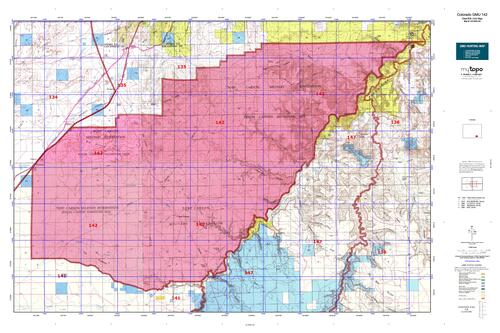
Colorado Unit 142 Hunting Topo Map with Printed Boundaries
Hunters Domain has Colorado Unit 142 hunt area maps that are 1:100,000-scale maps using Bureau of Land Management land status base maps.
Our UNIT 142 maps include:
Colorado public land ownership boundaries
Topographical contour lines
1:100,000 scale for easy viewing
Roads printed
Key terrain features to help you plan your hunt or trip
Hunt area or game management unit 142 (GMU 142) boundary is overlaid on the BLM base map
Easy planning for your upcoming big game hunt by defining roads and routes into the preferred area
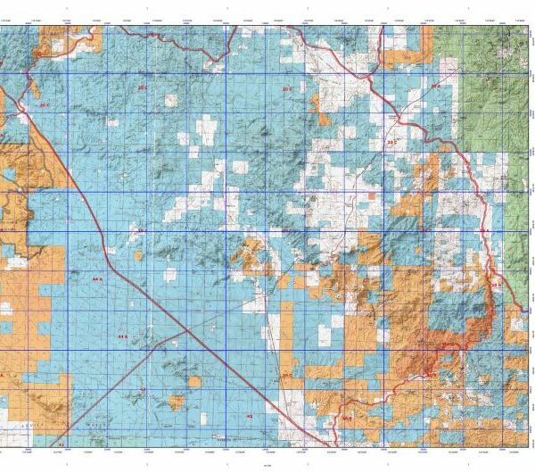
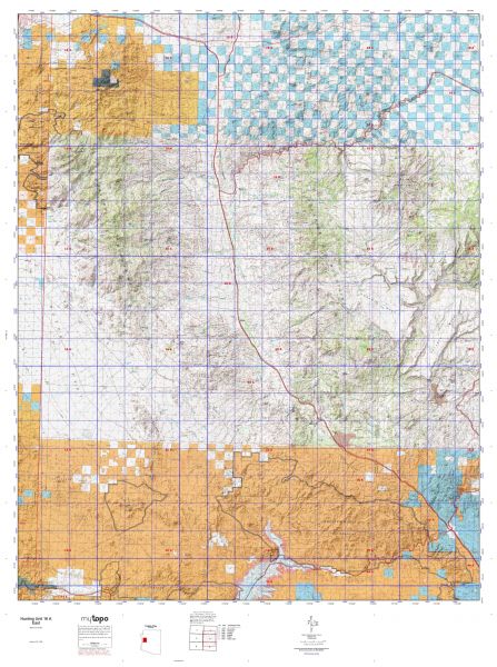
Custom maps for Unit 142 are also available (See it all on one map):
Color aerial photo maps: high resolution (you define borders/boundaries)
TOPO maps only where you easily define borders or edges of maps with our online program
Hybrid maps: a unique and detailed aerial photo combined with a USGS topographical maps (user-defined boundaries)
Order your Colorado Unit 142 Map Today!
The actual boundary description/definitions printed below from Colorado Parks and Wildlife hunting regulations brochure could have errors or been amended by the state so always check in their most current printed regulations or the Colorado Parks and Wildlife website to verify these boundaries before hunting as these are for reference only.
Colorado Big Game Unit 142
– Unit 142 Topo/Map Colorado – Game Management Unit (GMU-142).
Game Management Unit (GMU)
BLM Maps:
Reservation Land
US Forest Service Maps:
Reservation land
Click Here to Order Your Color Colorado Unit 142 Hunting Map
Colorado Unit 142 Description
Unit 142 Located in Las Animas County in U.S. Army Piñon Canyon Maneuver Site.
GMU 142 Elevation: 5,742 feet to 4,429 feet. Terrain : Moderately rolling to moderately steep plateaus to steep canyons. Vegetation: Shortgrass prairie to piñons, junipers and shrubs. Limited cottonwood riparian. Weather: Mild with first freeze or snow possible early October. Land Status: 100 percent U.S. Army. Hunter Access: Good. Small access fee with some restricted areas and time. For more information about access and closures, contact the US Army at Piñon Canyon. Mule Deer: Black Hills, Bear Springs Hills, in the piñon and juniper areas, along the Hogback and in any of the side canyons that lead to the Purgatoire River. Pronghorn: Throughout the grassland areas.


Reviews
There are no reviews yet.