Click Here to View Large Map or to Purchase
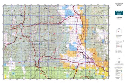
Colorado Unit 56 Hunting Topo Map with Printed Boundaries
Hunters Domain has Colorado Unit 56 hunt area maps that are 1:100,000-scale maps using Bureau of Land Management land status base maps.
Our UNIT 56 maps include:
Colorado public land ownership boundaries
Topographical contour lines
1:100,000 scale for easy viewing
Roads printed
Key terrain features to help you plan your hunt or trip
Hunt area or game management unit 56 (GMU 56) boundary is overlaid on the BLM base map
Easy planning for your upcoming big game hunt by defining roads and routes into the preferred area
Custom maps for Unit 56 are also available (See it all on one map):
Color aerial photo maps: high resolution (you define borders/boundaries)
TOPO maps only where you easily define borders or edges of maps with our online program
Hybrid maps: a unique and detailed aerial photo combined with a USGS topographical maps (user-defined boundaries)
Order your Colorado Unit 56 Map Today!
The actual boundary description/definitions printed below from Colorado Parks and Wildlife hunting regulations brochure could have errors or been amended by the state so always check in their most current printed regulations or the Colorado Parks and Wildlife website to verify these boundaries before hunting as these are for reference only.
Colorado Big Game Unit 56
– Unit 56 Topo/Map Colorado – Game Management Unit (GMU-56).
Game Management Unit (GMU)
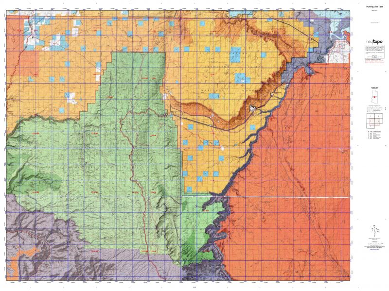
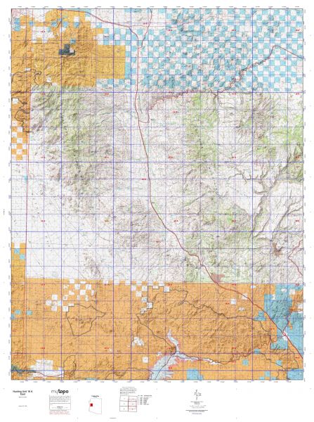
BLM Maps:
Reservation Land
US Forest Service Maps:
Reservation land
Click Here to Order Your Color Colorado Unit 56 Hunting Map
Colorado Unit 56 Description
Unit 56 Located in Chaffee County bounded on the North by Tincup Pass Rd. and Chalk Creek; on the East by the Arkansas River; on the South by South Arkansas River and U.S. 50; on the West by the Continental Divide.
GMU 56 Elevation: From 14,269 feet on Mt. Antero to 7,054 feet near Salida. Terrain:. Steep to moderately steep mountains with some level areas at low elevations. Vegetation: Grassy, brushy slopes in low areas to spruce/fir to alpine tundra. Weather: Extremely variable, but first snow or freeze can occur in early September. Land Status: Approximately 90 percent public. Hunter Access: Good to public lands. Deer: Look for deer in the lower elevations on the east and south sides of the unit. Elk: Elk found throughout the unit, but most will generally be found between 8,000 feet and 10,000 feet in elevation. This is a ‘high-country’ unit with numerous 14er’s in the area. The area around Shavano provides good elk habitat for early seasons at 10,000 feet.


Reviews
There are no reviews yet.