Click Here to View Large Map or Order
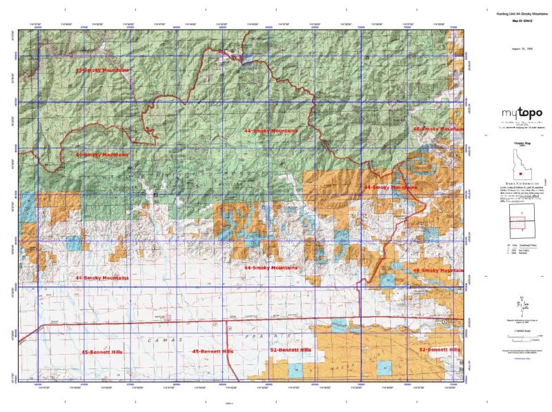
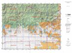
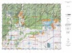
Idaho Unit 44 hunting map topo with printed boundaries
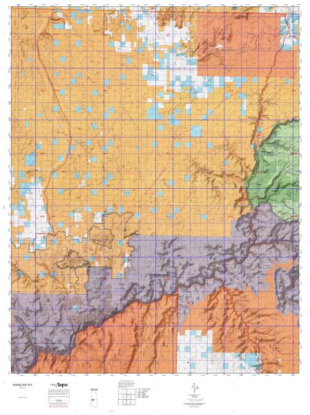
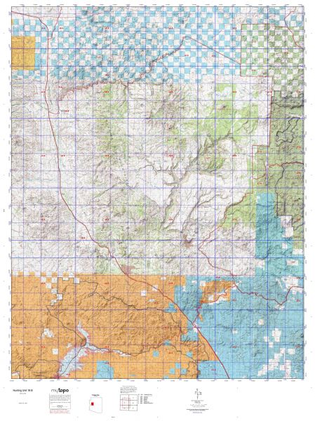
HuntersDomain has Idaho unit 44 hunt area maps that are 1:100,000-scale maps using Bureau of Land Management land status base maps.
Our UNIT 44 maps include:
- Idaho public land ownership boundaries
- Topographical contour lines
- 1:100,000 scale for easy viewing
- Roads printed
- Key terrain features to help you plan your hunt or trip
- Hunt area or game management unit 44 (GMU 44) boundary is overlaid on the BLM base map
- Easy planning for your upcoming big game hunt by defining roads and routes into the preferred area
Custom maps for unit 44 are also available (See it all on one map):
- Color aerial photo maps: high resolution (you define borders/boundaries)
- TOPO maps only where you easily define borders or edges of maps with our online program
- Hybrid maps: a unique and detailed aerial photo combined with a USGS topographical maps (user-defined boundaries)
Order your unit 44 Idaho topo map today!
The actual boundary description/definitions printed below from Idaho Division of Wildlife hunting regulations brochure could have errors or been amended by the state so always check in their most current printed regulations or the Idaho Division of Wildlife website to verify these boundaries before hunting as these are for reference only.
Idaho Big Game Unit 44
– Unit 44 Topo/Map Idaho – Game Management Unit (GMU-44).
Game Management Unit (GMU)
BLM Maps:
Reservation Land
US Forest Service Maps:
Reservation land
Click Here to Order Unit 44 Topo Map
Unit description
Unit 44 Smoky Mountains: Those portions of Blaine, Camas, and Elmore counties within the following boundary: beginning at the junction of the Camp Creek-Croy Creek Road and United States 20, then west on United States 20 to the Anderson Ranch Dam Road, then north on the Anderson Ranch Dam Road to Anderson Ranch Dam, then up the South Fork of the Boise River (middle of Anderson Ranch Reservoir) to Lime Creek, then upstream along Lime Creek to the Middle Fork of Lime Creek, then northeast on the Middle Fork Lime Creek Forest Service trail to Iron Mountain (Forest Service Trails 049 and 050), then east along the South Fork Boise River-Camas Creek watershed divide to Couch Summit, then north on the Five Points Creek Road (Forest Service Road 094), to the Little Smoky Creek-Carrie Creek-Dollarhide Summit Road (Forest Service Road 227), then northeast on Little Smoky Creek- Carrie Creek-Dollarhide Summit Road to Dollarhide Summit, then southeast along the Little Smoky Creek- Big Wood River-Camas Creek watershed divide to Kelly Mountain, then south down Kelly Gulch Creek to the Camp Creek- Croy Creek Road, then southwest on Camp Creek-Croy Creek Road to United States 20, the point of beginning.


Reviews
There are no reviews yet.