Click Here to View Large Map or to Purchase
Colorado Unit 86 Hunting Topo Map with Printed Boundaries
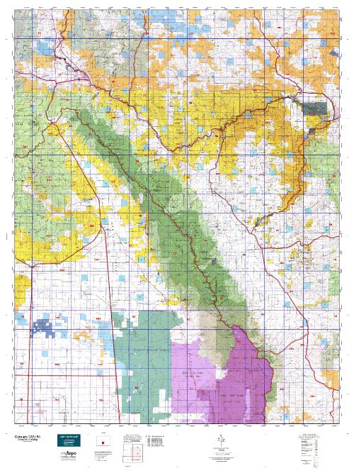
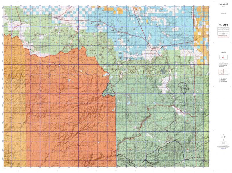
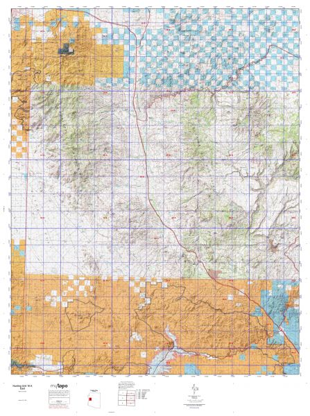
Hunters Domain has Colorado Unit 86 hunt area maps that are 1:100,000-scale maps using Bureau of Land Management land status base maps.
Our UNIT 86 maps include:
Colorado public land ownership boundaries
Topographical contour lines
1:100,000 scale for easy viewing
Roads printed
Key terrain features to help you plan your hunt or trip
Hunt area or game management unit 86 (GMU 86) boundary is overlaid on the BLM base map
Easy planning for your upcoming big game hunt by defining roads and routes into the preferred area
Custom maps for Unit 86 are also available (See it all on one map):
Color aerial photo maps: high resolution (you define borders/boundaries)
TOPO maps only where you easily define borders or edges of maps with our online program
Hybrid maps: a unique and detailed aerial photo combined with a USGS topographical maps (user-defined boundaries)
Order your Colorado Unit 86 Map Today!
The actual boundary description/definitions printed below from Colorado Parks and Wildlife hunting regulations brochure could have errors or been amended by the state so always check in their most current printed regulations or the Colorado Parks and Wildlife website to verify these boundaries before hunting as these are for reference only.
Colorado Big Game Unit 86
– Unit 86 Topo/Map Colorado – Game Management Unit (GMU-86).
Game Management Unit (GMU)
BLM Maps:
Reservation Land
US Forest Service Maps:
Reservation land
Click Here to Order Your Color Colorado Unit 86 Hunting Map
Colorado Unit 86 Description
Unit 86 Located in Custer, Chaffee and Freemont Counties bounded on the North by U.S. 50, South Arkansas River and Arkansas River; on the East by Colorado 69 and Fremont CR 27; on the South by Huerfano-Custer Co. line; on the West by Sangre De Cristo divide and U.S. 285.
GMU 86 Elevation: 14,070 feet on Humbolt Peak to 5,667 feet near Texas Creek. Terrain: Flat to gently rolling valley bottom climbing quickly to steep, rough mountains. Vegetation: Grassland to Grass to pine to spruce, firs and aspens to alpine meadows. Weather: Variable, but first snow or freeze can occur mid-Sept. Land Status: Approximately 70 percent public. Hunter Access: Fair to good access for public lands. Fair to poor on private lands. Deer: The northern 30 percent of unit. On public lands, try McCoy Gulch, Kerr Gulch, the area around Texas Creek and lower elevation public land around Hayden Creek. Mule deer inhabit both lower and higher elevation habitat, but tend to utilize lower elevations containing more piñon/juniper and brushy vegetation. Elk: Throughout the unit during the regular fall seasons depending on the snow and weather. Elk hunting is best at higher elevations with pine, fir and meadows in the earlier seasons. Elk may move to lower elevations when heavy snows come. Pronghorn: Good pronghorn hunting in valley bottom. High weekend pressure.


Reviews
There are no reviews yet.