Click Here to View Large Map or to Purchase
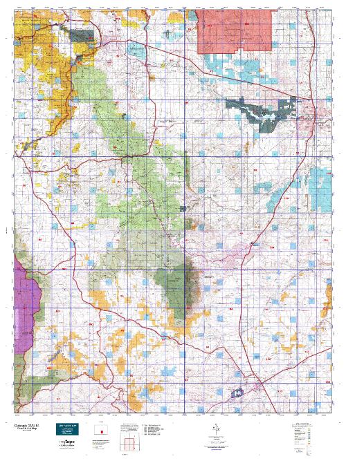
Colorado Unit 84 Hunting Topo Map with Printed Boundaries
Hunters Domain has Colorado Unit 84 hunt area maps that are 1:100,000-scale maps using Bureau of Land Management land status base maps.
Our UNIT 84 maps include:
Colorado public land ownership boundaries
Topographical contour lines
1:100,000 scale for easy viewing
Roads printed
Key terrain features to help you plan your hunt or trip
Hunt area or game management unit 84 (GMU 84) boundary is overlaid on the BLM base map
Easy planning for your upcoming big game hunt by defining roads and routes into the preferred area
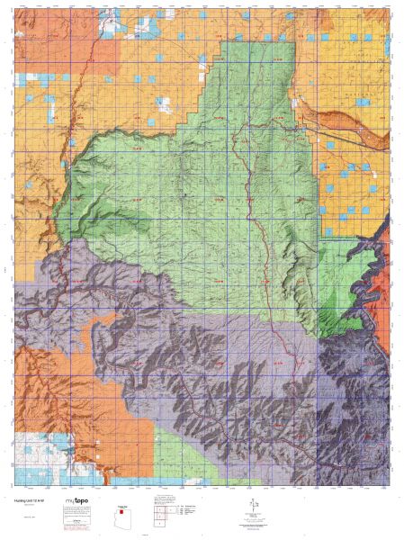
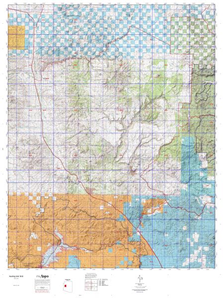
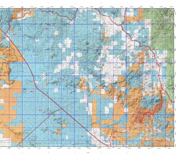
Custom maps for Unit 84 are also available (See it all on one map):
Color aerial photo maps: high resolution (you define borders/boundaries)
TOPO maps only where you easily define borders or edges of maps with our online program
Hybrid maps: a unique and detailed aerial photo combined with a USGS topographical maps (user-defined boundaries)
Order your Colorado Unit 84 Map Today!
The actual boundary description/definitions printed below from Colorado Parks and Wildlife hunting regulations brochure could have errors or been amended by the state so always check in their most current printed regulations or the Colorado Parks and Wildlife website to verify these boundaries before hunting as these are for reference only.
Colorado Big Game Unit 84
– Unit 84 Topo/Map Colorado – Game Management Unit (GMU-84).
Game Management Unit (GMU)
BLM Maps:
Reservation Land
US Forest Service Maps:
Reservation land
Click Here to Order Your Color Colorado Unit 84 Hunting Map
Colorado Unit 84 Description
Unit 84 Located in Custer, Herfano, Pueblo and Freemont Counties bounded on the North by U.S. 50; on the East by I-25 and Colorado 1; on the South by Colorado 69; on the West by Colorado 96 & 67
GMU 84 Elevation: 12,352 feet on Greenhorn Peak to 4,593 feet near Pueblo. Terrain: Flat to rolling prairie to moderately steep foothills to steep mountains. Vegetation: Shortgrass prairie to piñons, junipers and shrubs to pines and oaks, to spruce fir, to alpine meadows. Weather: Extremely variable. First freeze or snow from mid-Oct. in low lands to mid- Sept. in higher areas. Land Status: Approximately 30 percent public. Hunter Access: Good to public lands. Private lands vary from reasonable to no access allowed. Deer: The north end of the Greenhorns. Good hunting on private lands, but permission difficult and needs to be obtained early. Pueblo Reservoir SWA offers opportunities for late season hunts. Elk: Unit total limited for elk – draw or leftover licenses only.


Reviews
There are no reviews yet.