Click Here to View Large Map or to Purchase
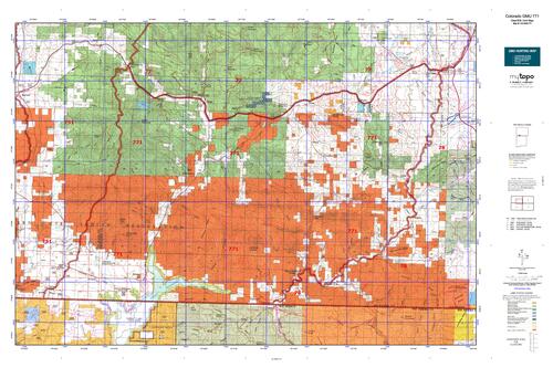
Colorado Unit 771 Hunting Topo Map with Printed Boundaries
Hunters Domain has Colorado Unit 771 hunt area maps that are 1:100,000-scale maps using Bureau of Land Management land status base maps.
Our UNIT 771 maps include:
Colorado public land ownership boundaries
Topographical contour lines
1:100,000 scale for easy viewing
Roads printed
Key terrain features to help you plan your hunt or trip
Hunt area or game management unit 771 (GMU 771) boundary is overlaid on the BLM base map
Easy planning for your upcoming big game hunt by defining roads and routes into the preferred area
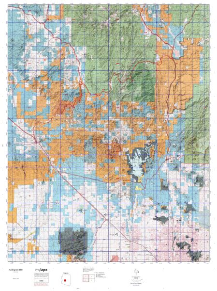
Custom maps for Unit 771 are also available (See it all on one map):
Color aerial photo maps: high resolution (you define borders/boundaries)
TOPO maps only where you easily define borders or edges of maps with our online program
Hybrid maps: a unique and detailed aerial photo combined with a USGS topographical maps (user-defined boundaries)
Order your Colorado Unit 771 Map Today!
The actual boundary description/definitions printed below from Colorado Parks and Wildlife hunting regulations brochure could have errors or been amended by the state so always check in their most current printed regulations or the Colorado Parks and Wildlife website to verify these boundaries before hunting as these are for reference only.
Colorado Big Game Unit 771
– Unit 771 Topo/Map Colorado – Game Management Unit (GMU-771).
Game Management Unit (GMU)
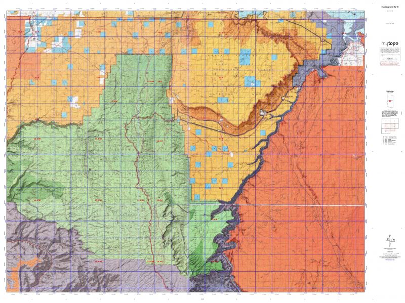
BLM Maps:
Reservation Land
US Forest Service Maps:
Reservation land
Click Here to Order Your Colorado Unit 771 Topo Map
Colorado Unit 771 Description
Unit 771 San Juan Basin Region: Archuleta County bounded on the North by U.S. 160; on the East by San Juan River; on the South by NM state line; on the West by Los Pinos River-Piedra River divide.
Public land and road access is good at mid to high elevations in these units which lie between Durango and Wolf Creek Pass. Elevations range from about 6,500 feet to more than 12,000 feet. Weather can change quickly and be severe. If the weather is warm, animals will be scattered widely in the vast alpine terrain. Hunters should concentrate their efforts away from roads. Two wilderness areas – the Weminuche on the north, and the South San Juan in the southeast corner – offer good back-country hunting opportunities.


Reviews
There are no reviews yet.