Click Here to View Large Map or to Purchase
Colorado Unit 58 Hunting Topo Map with Printed Boundaries
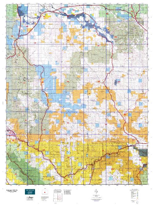
Hunters Domain has Colorado Unit 58 hunt area maps that are 1:100,000-scale maps using Bureau of Land Management land status base maps.
Our UNIT 58 maps include:
Colorado public land ownership boundaries
Topographical contour lines
1:100,000 scale for easy viewing
Roads printed
Key terrain features to help you plan your hunt or trip
Hunt area or game management unit 58 (GMU 58) boundary is overlaid on the BLM base map
Easy planning for your upcoming big game hunt by defining roads and routes into the preferred area
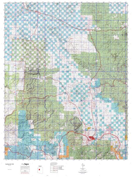
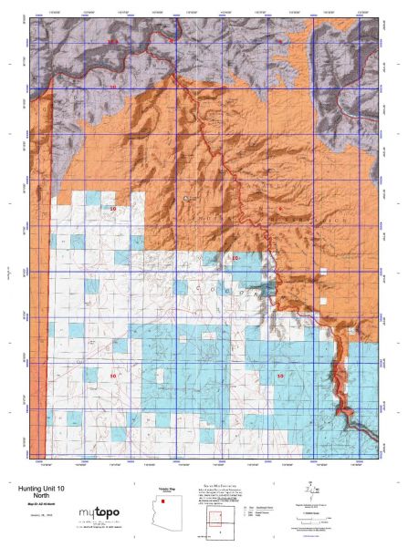
Custom maps for Unit 58 are also available (See it all on one map):
Color aerial photo maps: high resolution (you define borders/boundaries)
TOPO maps only where you easily define borders or edges of maps with our online program
Hybrid maps: a unique and detailed aerial photo combined with a USGS topographical maps (user-defined boundaries)
Order your Colorado Unit 58 Map Today!
The actual boundary description/definitions printed below from Colorado Parks and Wildlife hunting regulations brochure could have errors or been amended by the state so always check in their most current printed regulations or the Colorado Parks and Wildlife website to verify these boundaries before hunting as these are for reference only.
Colorado Big Game Unit 58
– Unit 58 Topo/Map Colorado – Game Management Unit (GMU-58).
Game Management Unit (GMU)
BLM Maps:
Reservation Land
US Forest Service Maps:
Reservation land
Click Here to Order Your Color Colorado Unit 58 Hunting Map
Colorado Unit 58 Description
Unit 58 Located in Freemont and Park Counties bounded on the North by U.S. 24; on the East by Park CRs 59, 102 and Colorado 9; on the South by U.S. 50 and Arkansas River; on the West by Kaufman Ridge and Badger Creek.
GMU 58 Elevation: 11,710 feet on Waugh Mountain to 5,760 feet at Parkdale. Terrain: Level valley bottoms to moderately steep hills to steep mountains. Vegetation: Grass, piñons, junipers, brush, aspens, spruce and fir.
Weather: Extremely variable; expect snow or freeze in early Sept. at higher elevations. Land Status: Approximately 40 percent public. Hunter Access: Fair to good. Most public land accessible, but some blocked by private. Landowners fairly cooperative to grant permission; some leased areas. Deer: Better in southern half on BLM land. The Sand Gulch and Badger Creek STLs provide good habitat for deer. Elk: Most elk hunting is in the 39-Mile Mountain, Dick’s Peak, Black Mountain and Waugh Mountain areas. Another place to check would be Waugh Mountain STL.
Pronghorn: Good pronghorn hunting on the north end.


Reviews
There are no reviews yet.