

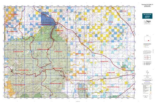
Wyoming Unit 10 Elk Topo Hunting Map
Sold out
Wyoming Unit 10 Elk Topo Hunting Map
$31.95
Out of stock
Currently there are 20 peoples are currently looking at this product
Spend $1,000.00 for FREE SHIPPING
Description
Customer Review
Be the first to review “Wyoming Unit 10 Elk Topo Hunting Map” Cancel reply
Wyoming Unit 10 Elk Hunting Topo Map with Printed Boundaries
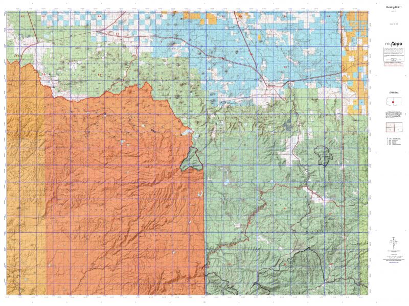
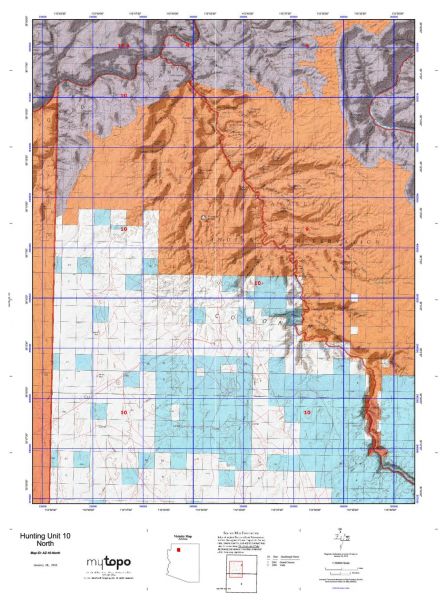
Hunters Domain has Wyoming Unit 10 Elk hunt area maps that are 1:100,000-scale maps using Bureau of Land Management land status base maps.
Our UNIT 10 Elk maps include:
Elk public land ownership boundaries
Topographical contour lines
1:100,000 scale for easy viewing
Roads printed
Key terrain features to help you plan your hunt or trip
Hunt area or game management unit 10 (GMU 10) boundary is overlaid on the BLM base map
Easy planning for your upcoming big game hunt by defining roads and routes into the preferred area
Custom maps for Unit 10 are also available (See it all on one map):
TOPO maps only where you easily define borders or edges of maps with our online program
Hybrid maps: a unique and detailed aerial photo combined with a USGS topographical maps (user-defined boundaries)
Order your Wyoming Unit 10 Elk Map Today!
The actual boundary description/definitions printed below from Wyoming Game and Fish hunting regulations brochure could have errors or been amended by the state so always check in their most current printed regulations or the Wyoming Game and Fish website to verify these boundaries before hunting as these are for reference only.
Wyoming Unit 10 Elk
– Unit 10 Topo/Map Wyoming Elk- Game Management Unit (GMU-10).
Game Management Unit (GMU)
BLM Maps:
Reservation Land
US Forest Service Maps:
Reservation land
Wyoming Unit 10 Elk Description
Elevation ranges from 7,100 feet to 11,600 feet. Approximately 70% of the hunt area is open prairie and agriculture lands. The remainder of the area is mountainous habitat. The foothills of the mountains are more open, with sagebrush and aspen. The majority of the mountains are heavily timbered with rolling terrain and valleys. At 10,000 feet and above the habitat becomes open meadows with strings of timbered krummholz.
This hunt area is best accessed from Wyoming Highway 130 on the southern boundary, and exit 272 from Interstate 80 on the northern boundary. There is no public access along the eastern front of the mountains. The Sand Lake road (USFS 111) and Fallen Pines road (USFS 329) are the main north to south access roads through the hunt area. Rock Creek, Brooklyn Lake, North Laramie, Little Laramie, Trail Creek, and Deep Creek trailheads provide good access into roadless areas on the National Forest. View the hunt planner map for available Access Yes (Walk-In-Areas and Hunter Management Areas) land open to elk hunting.


Reviews
There are no reviews yet.