Click Here to View Large Map or Order
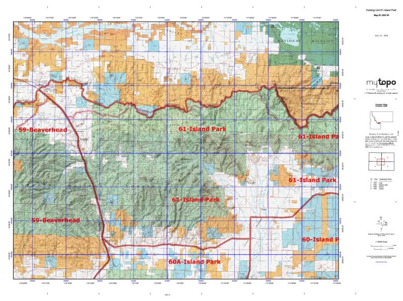
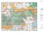
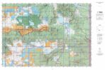
Idaho Unit 61 hunting map topo with printed boundaries
HuntersDomain has Idaho unit 61 hunt area maps that are 1:100,000-scale maps using Bureau of Land Management land status base maps.
Our UNIT 61 maps include:
- Idaho public land ownership boundaries
- Topographical contour lines
- 1:100,000 scale for easy viewing
- Roads printed
- Key terrain features to help you plan your hunt or trip
- Hunt area or game management unit 61 (GMU 61) boundary is overlaid on the BLM base map
- Easy planning for your upcoming big game hunt by defining roads and routes into the preferred area
Custom maps for unit 61 are also available (See it all on one map):
- Color aerial photo maps: high resolution (you define borders/boundaries)
- TOPO maps only where you easily define borders or edges of maps with our online program
- Hybrid maps: a unique and detailed aerial photo combined with a USGS topographical maps (user-defined boundaries)
Order your unit 61 Idaho topo map today!
The actual boundary description/definitions printed below from Idaho Division of Wildlife hunting regulations brochure could have errors or been amended by the state so always check in their most current printed regulations or the Idaho Division of Wildlife website to verify these boundaries before hunting as these are for reference only.
Idaho Big Game Unit 61
– Unit 61 Topo/Map Idaho – Game Management Unit (GMU-61).
Game Management Unit (GMU)
BLM Maps:
Reservation Land
US Forest Service Maps:
Reservation land
Click Here to Order Unit 61 Topo Map
Unit description
Unit 61 Island Park: Those portions of Clark and Fremont counties within the following boundary: beginning at Spencer, east on the Spencer- Kilgore Road to Idman, then east on the old (south) Shotgun Valley Road to the United States 20, then south on the United States 20 to State Highway 47, then southeast on State Highway 47 to the North Hatchery Butte Road, then east on North Hatchery Butte Road to Pineview, then north on the Pineview-Island Park Road to the Baker Draw-Black Mountain Springs Road, then east on Baker Draw-Black Mountain Springs Road to Fish Creek Road, then south on Fish Creek Road to the North Fork of Partridge Creek, then upstream to the Yellowstone Park boundary, then north along the Yellowstone Park boundary to the Idaho-Montana State line, then west to Monida Pass, then south on Interstate 15 to Spencer, the point of beginning.


Reviews
There are no reviews yet.